Cottonwood tops 12 feet
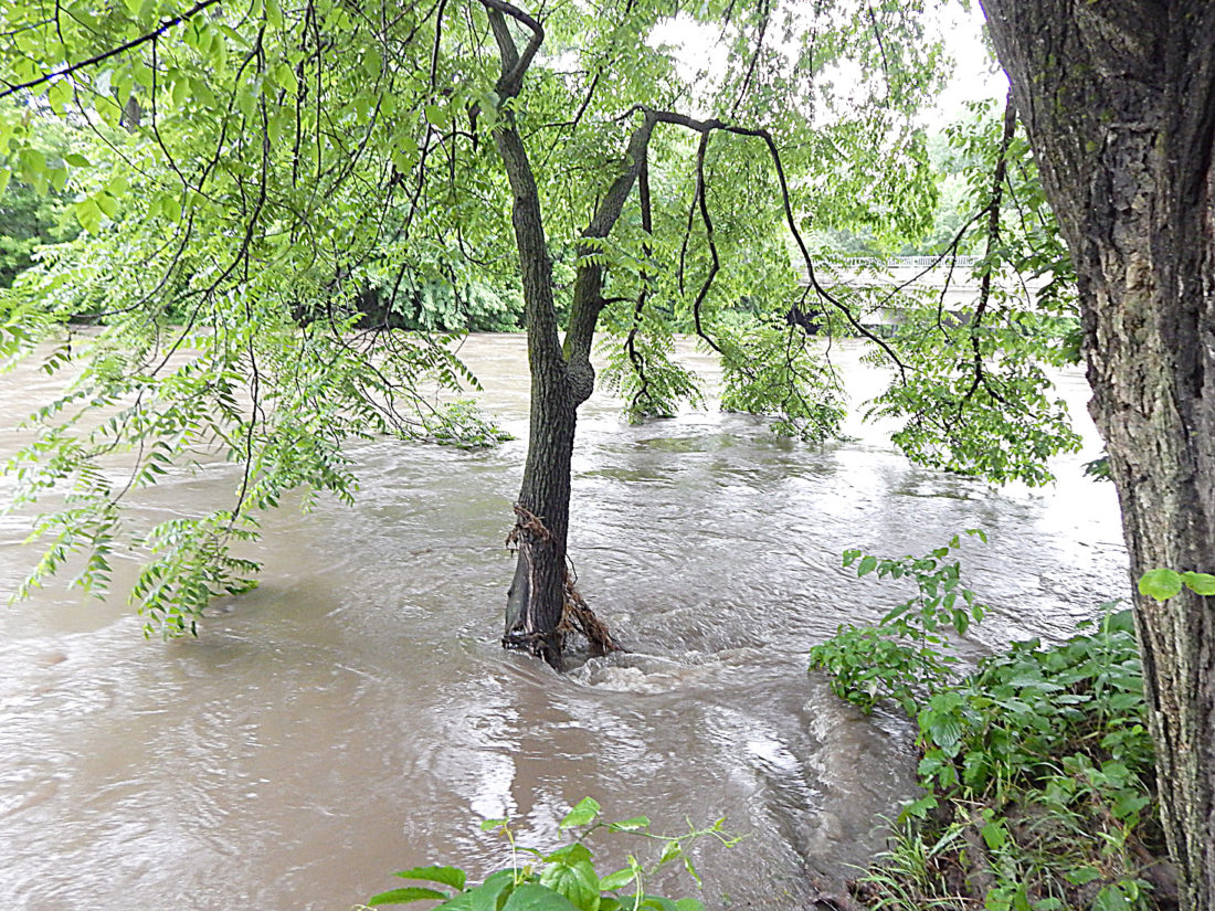
Staff photo by Fritz Busch The rain-swollen Cottonwood River races through Adams Park, near the Cottonwood Street bridge at the south edge of New Ulm, June 11. The river’s measured value was 11.99 feet at 10 a.m. June 11. The river level was measured at 12.08 feet June 10 and is forecast to rise to near 12.2 feet by early Wednesday, June 12.
Waters impact
low-lying areas
NEW ULM — The rain-swollen Cottonwood River raced through Adams Park and under the Cottonwood Street bridge June 11.
The National Weather Service (NWS) issued a flood warning until Friday, June 15, for the Cottonwood River at New Ulm, affecting Brown County at 9:45 a.m. June 11. The river level was measured at 11.9 feet at 9 a.m. Monday.
The river forecast was based on heavy rain that fell over southern Minnesota the last few days and on forecast precipitation for the next 24 hours. Any additional heavy rains could cause river levels to rise higher than predicted, according to the NWS.
Minor flooding is occurring and is forecast. Flood stage is 11 feet. At 13.1 feet, flood waters begin to impact Cottonwood Street west of the river.
The river is forecast to remain above 11 feet until later in the week.
The NWS advised the public not to drive through flooded areas.
Stay tuned to the National Oceanographic and Atmospheric Administration Weather Radio for the latest flood event information.
Local News

For prom, everything is in fashion

Comfrey man wakes up one morning with leukemia
Two arrested in NU for discharging firearms
NEW ULM — A 34-year-old man and 40-year-old woman both of New Ulm were arrested early Friday morning after police ...

Possible shark tooth found on sand bar

Dueling Pianos fundraiser raises over $8,000 for cancer foundation
Wabasso terminates contractor in city water project
WABASSO — The city of Wabasso will be terminating the general contractor in an improvement project for the ...