Temperatures plunge as winds swirl through region

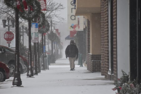
Staff photo by Fritz Busch A pedestrian bundled up in winter clothing walks north on Minnesota Street in downtown New Ulm Thursday. The National Weather Service forecasts drier, warmer weather most of next week.
NEW ULM — Old Man Winter blew back into town late Thursday morning as temperatures sank from near 40 degrees to 13 degrees with a below zero windchill by early afternoon.
Wind-driven snow swirled around downtown as the temperature continued to fall during the day.
“We’re in the peak of it right now,” said National Weather Service (NWS) Meteorologist Tyler Hasenstein at 1:30 p.m. Thursday.
The NWS issued a wind advisory for 25-35 mph winds with gusts up to 50 mph Thursday for portions of south central, southwest, west central and central Minnesota.
An NWS Winter Weather Advisory was issued for Blue Earth, Brown, Faribault, Martin, Nicollet and Watonwan Counties with 40 to 50 mph wind gusts, low visibility in falling snow and flash freeze conditions until 6 p.m. Thursday.
Wind gusts were measured at 60 mph in Willmar, 51mph in St. James and Olivia, 45 mph in Mankato and Redwood Falls and 40 mph in New Ulm, Hasenstein said.
“It’s going to be cold Saturday night, then back to near normal this weekend and into next week. We could get into the 40s next week, depending on how deep the snow is and how much sun we get,” he said. “We will definitely be on the dry side after today and dry basically for most of the rest of the month.”
Hasenstein said very strong winds of 80 mph or more were measured in the western Dakotas, Wyoming and Montana.
Motorists were advised by the NWS to be prepared for slippery roads, slow down and use caution. Pedestrians were advised to watch their first steps outside in case of icy and slippery surfaces that may increase risk of a fall and injury.
For more information, visit 511mn.org.
Local News
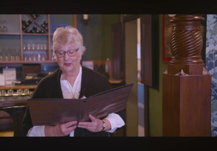
Fifth year for ‘Stories for the Season’
New Ulm City Council reviews three tax abatements
Brown Co. board continues local option sales tax
NEW ULM — Brown County Commissioners unanimously approved a resolution for continuation of the half percent local ...
Temperatures plunge as winds swirl through region
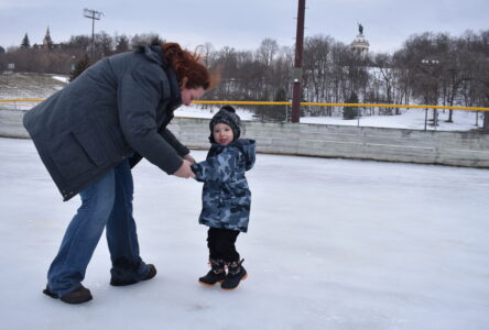
Harman Park outdoor ice rinks open early
NU City Council approves 2026 levy of $11.2M
NEW ULM – The New Ulm City Council adopted the $29.1 million 2026 budget with a total property tax levy of $11.2 ...