
Brace for blustery conditions
Storm described as ‘quick hitter’
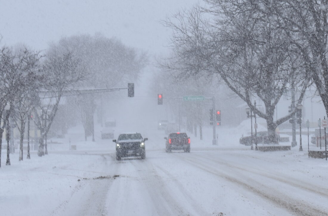
he worst of Wednesday’s blizzard hit around noon with roughly an inch of snow falling combined with blustery winds that made for difficult driving conditions.
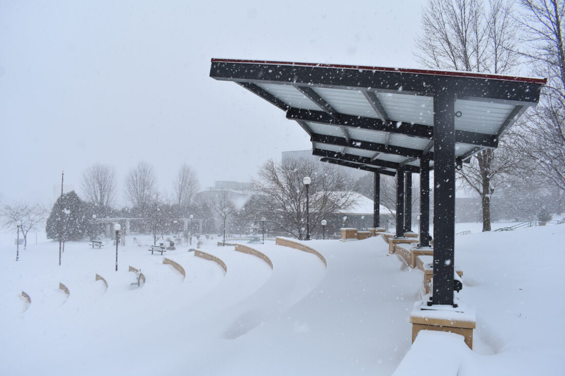
The German park amphitheater was buried in a new layer of snow Wednesday afternoon.
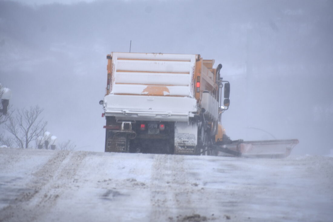
A City of New Ulm Street Department truck spreads sand along Center Street.
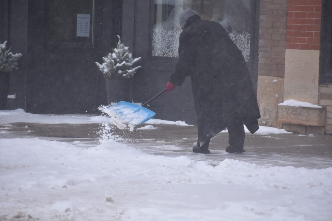
Store owners on downtown Minnesota Street shoveled pathways following Wednesday’s dusting of snow.
he worst of Wednesday’s blizzard hit around noon with roughly an inch of snow falling combined with blustery winds that made for difficult driving conditions.
The German park amphitheater was buried in a new layer of snow Wednesday afternoon.
A City of New Ulm Street Department truck spreads sand along Center Street.
Store owners on downtown Minnesota Street shoveled pathways following Wednesday’s dusting of snow.
Trending
NEW ULM - A quick but blustery winter storm hit south central Minnesota Wednesday.
The storm began in the morning and continued on and off through the afternoon but cleared up before nightfall.
National Weather Service (NWS) meteorologist Jacob Beitlisch described the storm as a "quick hitter" that would leave a light dusting of snow with strong gusts hitting on and off. Total snow accumulation was around an inch, but high winds causing drifting. At times, blue sky was visible, followed quickly by brief white out conditions. However, the worst of the storm was over by sunset Wednesday.
Beitlisch said the big story was the cold weather moving into the weekend. Thursday, New Ulm residents can expect blustery winds and falling temperatures. Temperatures will fall to -10 degrees by evening with overnight temperatures at -20 degrees.
Beitlisch said combined with high winds, the New Ulm area could see windchills of -40 degrees by Friday.
The high winds should end by Saturday but temperatures will remain below zero through the weekend.
Those traveling over the next few days are advised to have warm clothes in the event they become stranded. Anyone outside should dress in layers including hat, face mask and gloves. Pets should be kept indoor if possible.